by Catherine Schmitt
“King Tides” are the monthly high tides that occur during the new and full moons. They are also called “spring tides” but that term is a bit confusing because here in the Northeast, the highest tides of the year usually occur in late fall. The next King Tides in Winter Harbor are December 14 (13.6 feet at 9:47 am) and December 15 (13.6 feet at 10:38 am), on the new moon.
By observing King Tides, we can get a sense for the impact of future sea level rise. In a new assessment of climate change from the Maine Climate Council, the Maine Geological Survey recommended the state “commit” to manage for 1.5 feet of relative sea level rise by 2050 and 3.9 feet of sea level rise by the year 2100, and “prepare” to manage for 3 feet of relative sea level rise by 2050 and 8.8 feet of sea level rise by the year 2100.
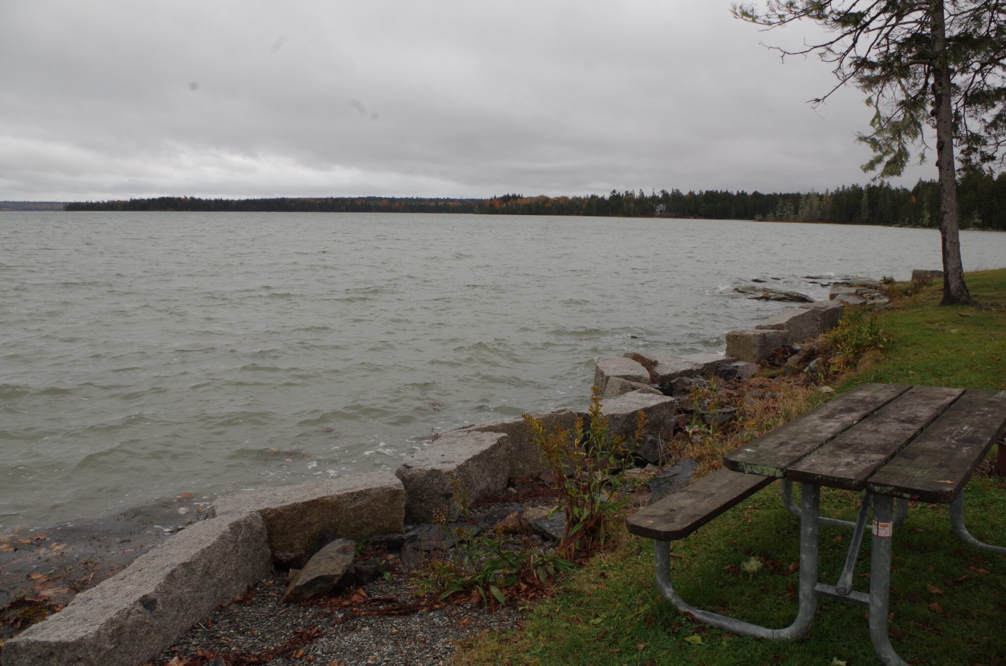
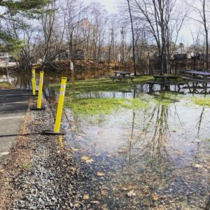
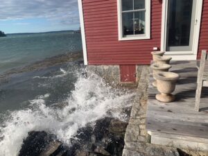
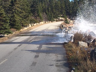
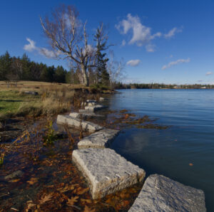
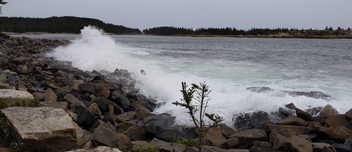
The King Tide water levels are 4+ feet higher than the lowest high tide of the month, and so could represent the future normal. What areas are vulnerable to flooding and erosion? How far into rivers and marshes is salt water reaching? What infrastructure is affected? Imagine the impact if a Nor’easter storm or hurricane (such as Hurricane Teddy in the photo above by Shannon O’Brien) were to arrive at the same time as the King Tide.
Help scientists track sea level rise by contributing photographs of the monthly high tide.
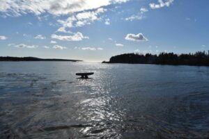
“Please go out at high tide over the next few days and get pictures of where the tide is at high tide…up on roads, swamping up to trees, covering the legs of picnic tables or fire rings?” said Marine Ecology Director Hannah Webber.
Find your next high tide and share your photos on social media with the hashtag #WickedHighTides, or to the Gulf of Maine King Tides Project on Anecdata, and/or MyCoast.
Here are some places we are watching in Acadia:
Schoodic Point road just south of entrance to Schoodic Institute campus
Frazer Point Picnic Area
Thompson Island Picnic Area and Route 3 bridges
Pretty Marsh Picnic Area
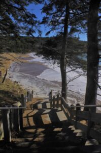
Sand Beach
Bass Harbor Head and Lighthouse
We will also be tuning in to live reports from Boston harbor, where the islands and peninsulas of Boston Harbor Islands National Recreation Area vary in their vulnerability to sea level rise and storms, and to the waves at Cape Cod National Seashore, where a new visitor center at Herring Cove has been built to withstand rising seas.