by Catherine Schmitt
“King Tides” are the monthly high tides that occur during the new and full moons. They are also called “spring tides” but that term is a bit confusing because here in the Northeast, the highest tides of the year usually occur in late fall. The next King Tides in Winter Harbor are November 5 (12.5 feet at 11:20 am) and December 5 (12.8 feet at 10:49 am), on the new moon. These are not quite as high as last year.
By observing King Tides, we can get a sense for the impact of future sea level rise. In the assessment of climate change from the Maine Climate Council, the Maine Geological Survey recommended the state “commit” to manage for 1.5 feet of relative sea level rise by 2050 and 3.9 feet of sea level rise by the year 2100, and “prepare” to manage for 3 feet of relative sea level rise by 2050 and 8.8 feet of sea level rise by the year 2100.
Understanding sea level rise and its impact on Acadia and other public lands is part of our ongoing project on Nor’easter vulnerability, and a new project led by University of Rhode Island to improve sea level rise information and response at national parks and national wildlife refuges in New England.
The King Tide water levels are 4+ feet higher than the lowest high tide of the month, and so could represent the future normal. What areas are vulnerable to flooding and erosion? How far into rivers and marshes is salt water reaching? What infrastructure is affected? Imagine the impact if a Nor’easter storm or hurricane were to arrive at the same time as the King Tide.
Help scientists improve forecasts of sea level rise and associated threats by contributing photographs of the monthly high tide.
Find your next high tide and share your photos on social media with the hashtag #WickedHighTides, or to the Gulf of Maine King Tides Project on Anecdata, and/or MyCoast.
You can also email photos to cschmitt@schoodicinstitute.org.
Here are some places we are watching in Acadia:
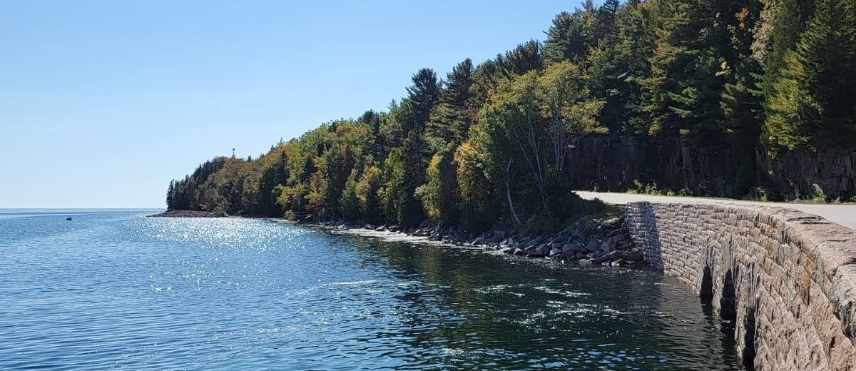
Schoodic Point road just south of entrance to Schoodic Institute campus
Frazer Point Picnic Area
Thompson Island Picnic Area and Route 3 bridges
Pretty Marsh Picnic Area
Sand Beach
Seawall Picnic Area
Bass Harbor Head and Lighthouse