by Trevor Grandin
Sea to Trees is a podcast that tells the stories of the science happening in and around Acadia, from the rocky shoreline to the evergreen forests to the granite mountaintops.
This third season we’re talking about research that blurs the lines of history – projects that are in dialogue with the past, analyzing the present, or envisioning the future.
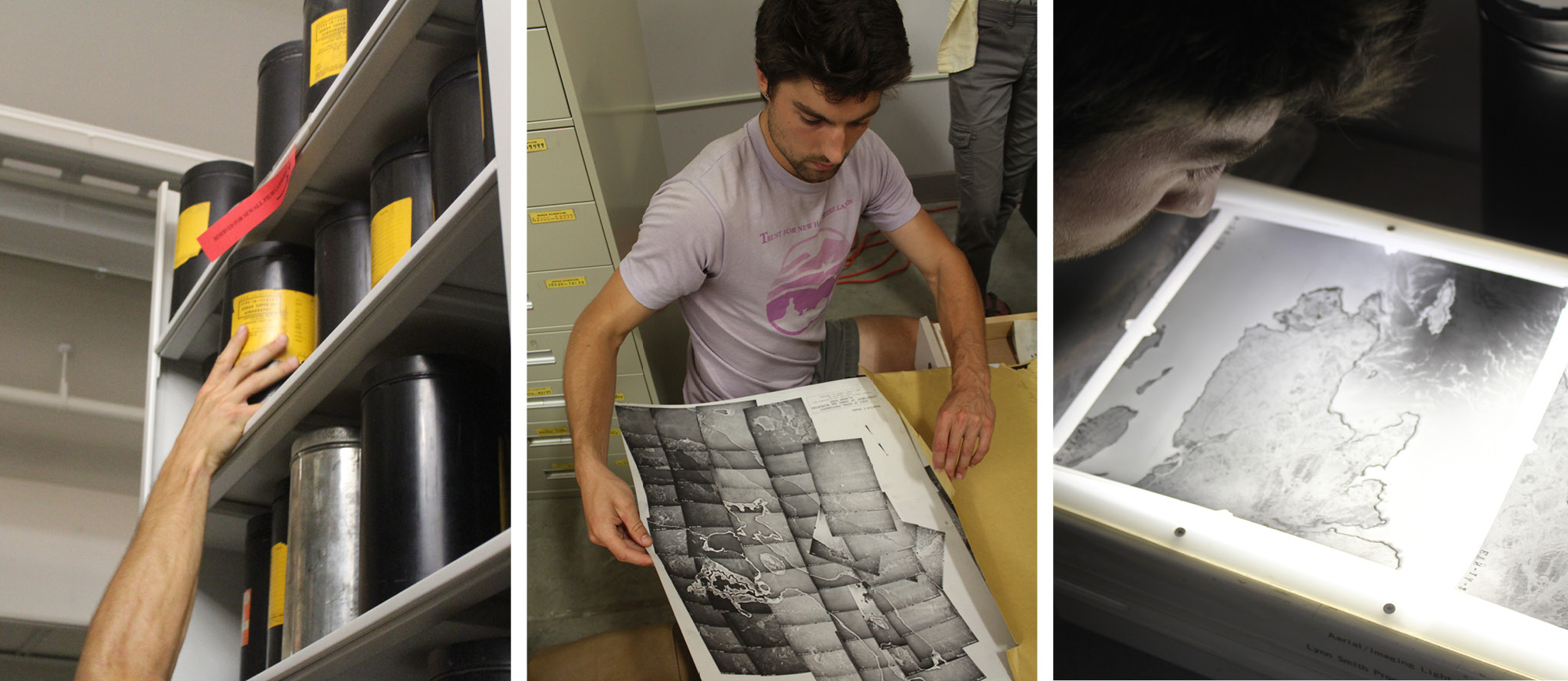
In the premiere episode of season three, we’re taking twentieth-century flights over Mount Desert Island. For years, thousands of aerial photographs have been sitting in the University of Maine’s collection, waiting for someone to unearth them. Chronicling the landscape across New England from 1946 to 2015, these photographs tell Maine’s story from a birds eye view. What can these photos tell us about the history of Acadia and how can they influence the future of land stewardship?
We talk with Acadia Science Fellow and University of Maine Ph.D. student Peter Howe about his work digitizing this extensive collection and creating the Northeast Forest Historical Atlas. You’ll also hear from Christian Halstead, Director of Earth Resources Information at the Maine Geological Survey, and Jesse Wheeler, Vegetation Program Manager at Acadia National Park, about the modern day uses for historical aerial photography.
Explore the links below for more information:
The University of Maine Sewall Company Aerial Photograph Collection
Northern Forest Historical Atlas
Maine Geological Survey Aerial Photography
Sea to Trees is possible with generous support through The Cathy and Jim Gero Acadia Early-Career Fellowship, a partnership among Schoodic Institute, National Park Foundation, and National Park Service.