by Abby Schill
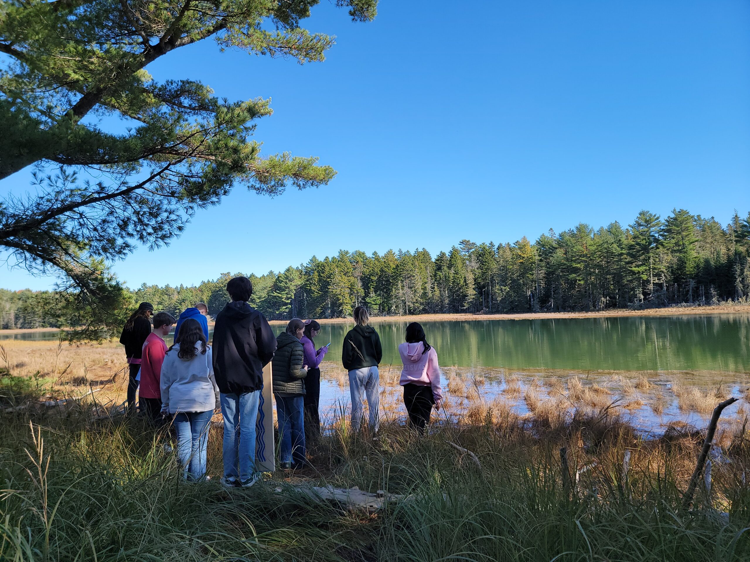
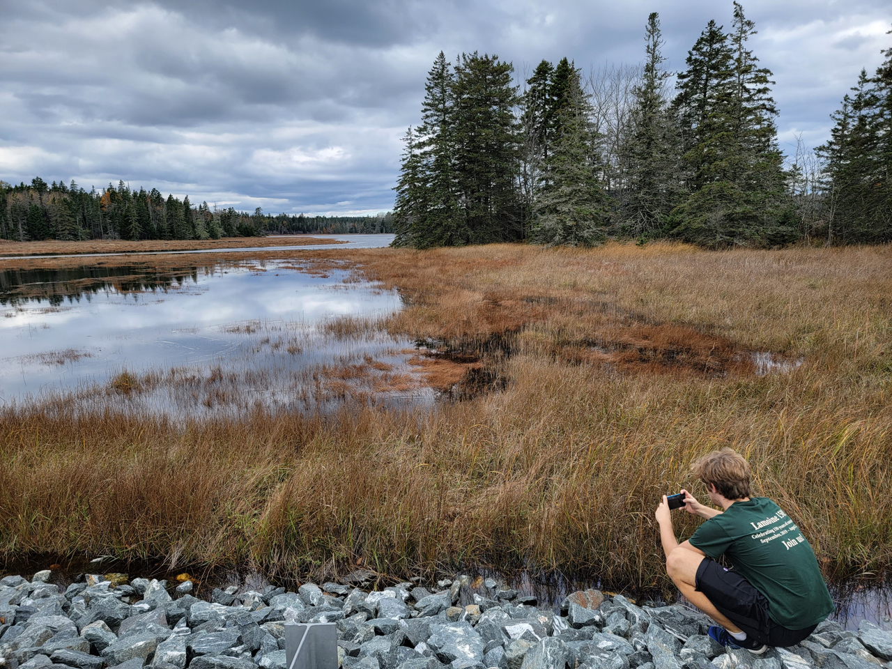
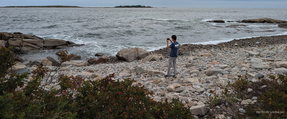
Getting to see the coastline at different tide levels is one of my favorite things about walking along the Schoodic loop road. I’ve never lived by the ocean before, and didn’t realize how drastically the landscape can change in just a few hours until I saw it for myself. Entire beaches disappear under the high tide and reemerge hours later. Tidepools left behind as the water recedes join the rest of the ocean as the tide comes back in. It’s exciting to see all the variations that this cyclical movement of water creates, and some of the most exciting tides are just around the corner.
Wicked high tide season is upon us once again.
High tides happen every day, and here in the Gulf of Maine, the tidal range (distance between low and high tides) is generally 8-12 feet. “Spring tides” are the monthly highest high tides, caused by the Earth, moon, and sun being in near alignment – meaning that these tides coincide with full and new moons. “Wicked high tides” (or king tides) are exceptionally high spring tides, and often occur in the late fall in the Northeast, when the moon is at its closest point to the Earth and the Earth is at its closest point to the Sun, creating an especially strong gravitational pull. If seeing the highest high tides of the year is exciting to you, you’re in luck! In Winter Harbor, these tides will be October 8 (12.4 feet at 11:54 am) and November 5 (12.4 feet at 9:41 am), 6 (12.7 feet at 10:29 am), and 7 (12.7 feet at 11:19 am).
Through tracking observations of the highest high tides, we can predict what areas may be vulnerable to flooding and erosion from storms, and make plans for how to protect infrastructure and ecosystems that may be impacted.
Having many observations is crucial to understanding how the coastline is affected in different areas. You can help scientists monitor the coastline and improve storm impact forecasts by contributing photographs of high (and low!) tides.
Add your observations to the Gulf of Maine King Tides project on Anecdata, where you can also look at images from the 2024 winter storms and previous king tides. You can also contribute via Gulf of Maine Research Institute’s Coastal Flooding reporting tool, and/or to MyCoast.