What do the highest tides of the year tell us about future sea levels, storms, and vulnerability of coastal locations?
We initiated sea level rise monitoring in 2019 as part of the project, Communicating Nor’easter Vulnerability in National Parks. It expanded in 2022 as part of Landscape of Change.
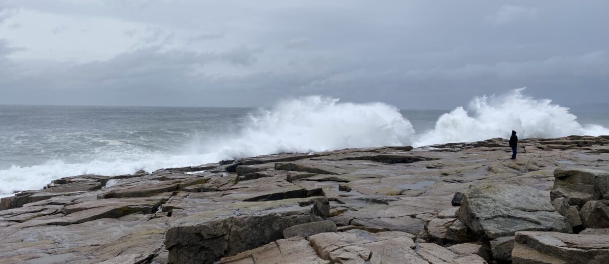
We monitor the highest tides of the year (sometimes called “king tides”) because they represent the “average” high tides of the future. We also document the impacts of storms on beaches, roads, and picnic areas in Acadia.
Everyone can contribute by sharing photographs of high tides and storms via the Gulf of Maine King Tides project on Anecdata. Try to include a reference point (building, rock, tree, etc.) so that the photo can be repeated in the future.
Researchers, such as the team we are working with at University of Rhode Island and Penn State, use the data to calibrate their models of storms and sea level rise. We learn which areas are most vulnerable to flooding so we can prepare for future storms. Resource managers use the data to understand the vulnerability of locations in the park to storms and floods and make decisions about resisting, accepting, or directing their response to change.
For more information, contact Catherine Schmitt, cschmitt@schoodicinstitute.org